
Tugna:Tarumi-ku in Kobe City.svg

Afaylu aneṣli (Afaylu SVG, tabadut n 689 × 564 pixel, lqedd : 21 KB/KO)
Agzul
| Aglam |
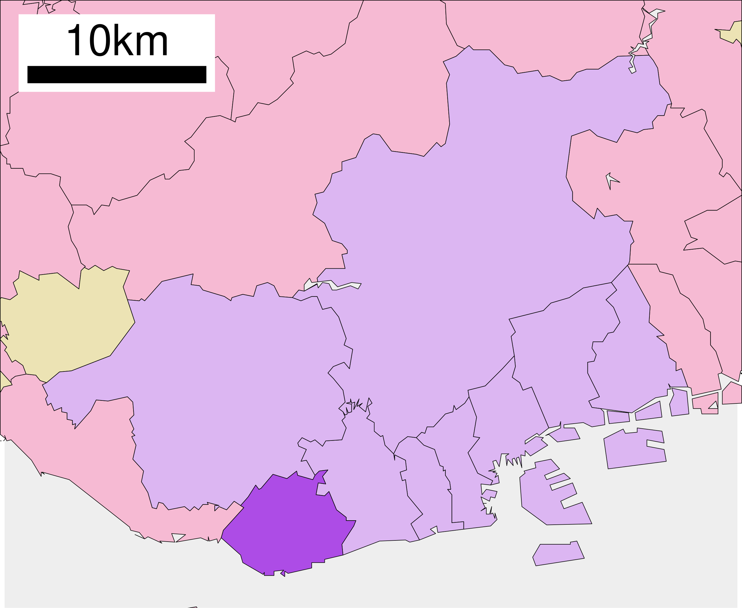
English: Location of Tarumi-ku of Kobe city in Hyogo prefecture, Japan
|
||
| Azemz | (UTC) | ||
| Aɣbalu |
|
||
| Ameskar | Lincun | ||
| Tasiregt (Tulsa n useqdec n ufaylu-agi) |
|
Turagt

|
Ɣuṛ-k tasiregt akken ad tneɣleḍ, ad tzuzreḍ neɣ ad tesnifleḍ isemli-agi akken yella di tewtilin n GNU Free Documentation License lqem 1.2 neq yal lqem amaynut i d-yeffɣen sɣuṛ Free Software Foundation, s war abeddel di tgezmiyin, s war aḍris deg usebter amenzu n tdulineɣ s war aḍris deg usebter aneggaru n tduli. Amedya n turagt yedda deg tgezmi ittusemman GNU Free Documentation License. |
- Ɣuṛ-k tilelli:
- i beṭṭu – akken ad tneɣleḍ, ad tzuzreḍ neɣ ad tebḍuḍ amahil-agi
- i uṣeggem – i uṣeggem n umahil
- Ddaw n tiwtilin-agi:
- bab – Yessefk ad d-bedreḍ isem n umeskar aneṣli s wudem yettwammlen sɣuṛ ameskar n umahil neɣ bab n izerfan i k-imudden tasiregt (mačči s wudem yemmalen am akken yettmuddu-yak afus neɣ yeqbel aseqdec-it n umahil).
- bḍut akken yella – Ma tbeddleḍ, teskelteḍ, neɣ tebniḍ ɣef umahil-agi, yessefk ad tezzuzreḍ amahil i d-yeffɣen ɣas ddaw n turagt-nni neɣ turagt icuban ɣuṛ-s.
Journal des téléversements d’origine
| This file was moved from Japanese Wikipedia.
See below for original file information. | ||||||||||||||||||||||||
| ||||||||||||||||||||||||
|
| ||||||||||||||||||||||||
Amazray n ufaylu
Senned ɣef yiwen azmez d usrag iwakken ad ẓṛeḍ afaylu aken yella deg imir nni.
| Azemz/Ssaɛa | Aqmamaḍ | Iseggiwen | Amseqdac | Awennit | |
|---|---|---|---|---|---|
| Lux a | 21 Tuber 2020 à 04:42 | | 689 × 564 (21 KB/KO) | AichiWikiFixer | Updated colors as File:Map_of_Hyogo_Prefecture_Ja.svg |
| 8 Tuber 2009 à 15:02 |  | 680 × 632 (11 KB/KO) | Monaneko | {{Information |Description={{en|1=Location of Tarumi-ku in Kobe City}} {{ja|1=神戸市垂水区の位置}} |Source=ja:File:行政区位置図 28108.svg |Author=ja:User:Lincun |Date=2007-12-07 15:38 (UTC) |Permission= |other_versions= }} [[Cate | |
| 7 Duǧember 2007 à 15:38 |  | 680 × 632 (11 KB/KO) | Lincun | {{行政区位置図画像情報|兵庫県|神戸市|垂水区}} |
Aseqdec n ufaylu
Asebter agi teseqdac afaylu agi :
Aseqdec n ufaylu amatu
Iwikiyen-agi-nniḍen seqdacen afaylu-agi:
- Aseqdec ɣef ar.wikipedia.org
- Aseqdec ɣef de.wikipedia.org
- Aseqdec ɣef en.wikipedia.org
- Aseqdec ɣef et.wikipedia.org
- Aseqdec ɣef fa.wikipedia.org
- Aseqdec ɣef fr.wikipedia.org
- Aseqdec ɣef id.wikipedia.org
- Aseqdec ɣef ja.wikipedia.org
- Aseqdec ɣef ko.wikipedia.org
- Aseqdec ɣef th.wikipedia.org
- Aseqdec ɣef www.wikidata.org
- Aseqdec ɣef zh.wikipedia.org