
Tugna:Location Rif.PNG
Ulac tabadut tameqqṛant i yellan.
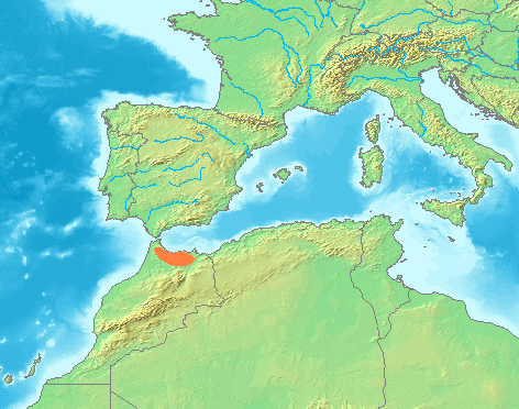
Location_Rif.PNG (472 × 372 pixel, tiddi n ufaylu: 125 KB/KO, anaw n MIME: image/png)
| Aglam | Locator maps for mountain ranges : Location Westerwald.PNG |
| Aɣbalu | demis maps, see below |
| Ameskar |
This image is in the public domain because it came from the site https://www.demis.nl/products/web-map-server/examples/ and was released by the copyright holder. Permission is granted to copy, distribute and/or modify this map since it is based on free of copyright images from: www.demis.nl. See also approval email on de.wp and its clarification.
|
| This work has been released into the public domain by its copyright holder, www.demis.nl. This applies worldwide. Dans certains pays, ceci peut ne pas être possible ; dans ce cas : www.demis.nl accorde à toute personne le droit d’utiliser cette œuvre dans n’importe quel but, sans aucune condition, sauf celles requises par la loi.
|
Amazray n ufaylu
Senned ɣef yiwen azmez d usrag iwakken ad ẓṛeḍ afaylu aken yella deg imir nni.
| Azemz/Ssaɛa | Aqmamaḍ | Iseggiwen | Amseqdac | Awennit | |
|---|---|---|---|---|---|
| Lux a | 30 Yunyu 2007 à 21:41 | | 472 × 372 (125 KB/KO) | Michiel1972 | {{Information |Description=Locator maps for mountain ranges : Location Westerwald.PNG |Source=demis maps, see below |Date= |Author= |Permission=see below |other_versions= }} {{PD-Demis}} Category:Maps of mountain_ranges_of_Europe |
Aseqdec n ufaylu
Ulaḥedd seg isebtar sɛan azday ar afaylu-agi.
Aseqdec n ufaylu amatu
Iwikiyen-agi-nniḍen seqdacen afaylu-agi:
- Aseqdec ɣef an.wikipedia.org
- Aseqdec ɣef cs.wikipedia.org
- Aseqdec ɣef es.wikipedia.org
- Aseqdec ɣef incubator.wikimedia.org
- Aseqdec ɣef ja.wikipedia.org
- Aseqdec ɣef sv.wikipedia.org
- Aseqdec ɣef tr.wikipedia.org
- Aseqdec ɣef zgh.wikipedia.org