
Tugna:Iran location map.svg

Taille de cet aperçu PNG pour ce fichier SVG : 672 × 600 iferdisen n tugna. Tibuda nniḍen : 269 × 240 iferdisen n tugna | 538 × 480 iferdisen n tugna | 861 × 768 iferdisen n tugna | 1 147 × 1 024 iferdisen n tugna | 2 295 × 2 048 iferdisen n tugna | 1 200 × 1 071 iferdisen n tugna.
Afaylu aneṣli (Afaylu SVG, tabadut n 1 200 × 1 071 pixel, lqedd : 299 KB/KO)
Agzul
| Aglam |
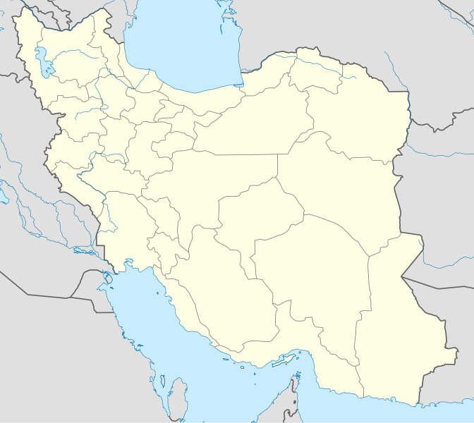
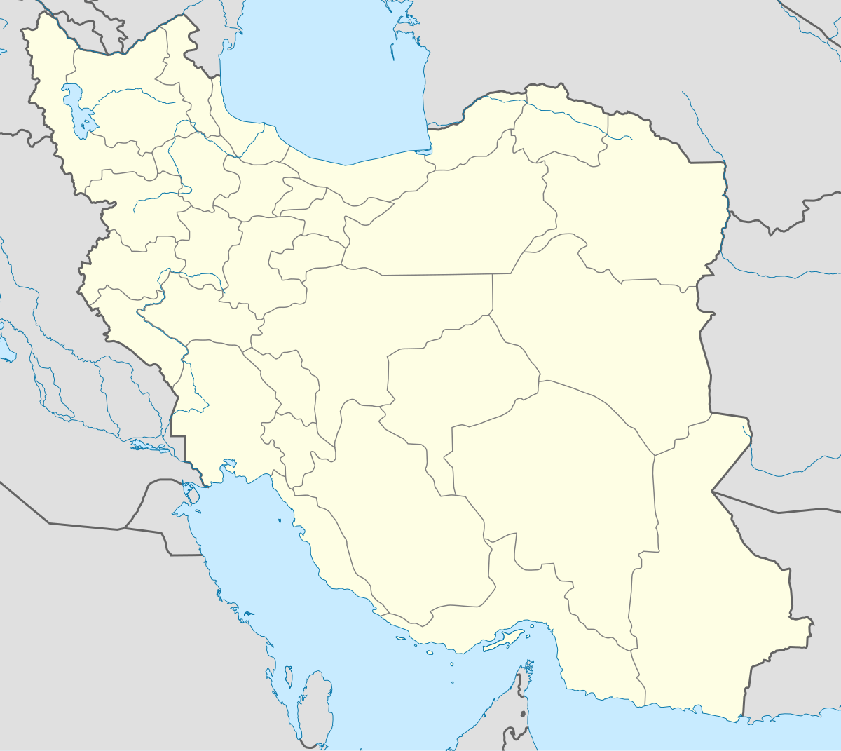
English: Location map of Iran.
Equirectangular projection. Stretched by 118.0%. Geographic limits of the map: * N: 40.0° N * S: 24.5° N * W: 43.5° E * E: 64.0° EMade with Natural Earth. Free vector and raster map data @ naturalearthdata.com. |
| Azemz | |
| Aɣbalu | Amahil udmawan |
| Ameskar | Uwe Dedering |
| Autres versions |
Derivative works of this file:
|
| SVG information | Le code de ce fichier SVG n'est pas valide en raison d'une erreur. Cette carte W3C-invalide a été créée avec Adobe Illustrator, et avec Inkscape. |

Turagt
Moi, en tant que détenteur des droits d’auteur sur cette œuvre, je la publie sous les licences suivantes :
Afaylu-agi yella ddaw n tewtilin n turagt Creative Commons Attribution-Share Alike 3.0 Unported.
- Ɣuṛ-k tilelli:
- i beṭṭu – akken ad tneɣleḍ, ad tzuzreḍ neɣ ad tebḍuḍ amahil-agi
- i uṣeggem – i uṣeggem n umahil
- Ddaw n tiwtilin-agi:
- bab – Yessefk ad d-bedreḍ isem n umeskar aneṣli s wudem yettwammlen sɣuṛ ameskar n umahil neɣ bab n izerfan i k-imudden tasiregt (mačči s wudem yemmalen am akken yettmuddu-yak afus neɣ yeqbel aseqdec-it n umahil).
- bḍut akken yella – Ma tbeddleḍ, teskelteḍ, neɣ tebniḍ ɣef umahil-agi, yessefk ad tezzuzreḍ amahil i d-yeffɣen ɣas ddaw n turagt-nni neɣ turagt icuban ɣuṛ-s.

|
Ɣuṛ-k tasiregt akken ad tneɣleḍ, ad tzuzreḍ neɣ ad tesnifleḍ isemli-agi akken yella di tewtilin n GNU Free Documentation License lqem 1.2 neq yal lqem amaynut i d-yeffɣen sɣuṛ Free Software Foundation, s war abeddel di tgezmiyin, s war aḍris deg usebter amenzu n tdulineɣ s war aḍris deg usebter aneggaru n tduli. Amedya n turagt yedda deg tgezmi ittusemman GNU Free Documentation License. |
Tzemreḍ ad ferneḍ yiwet seg turagin-agi.
Amazray n ufaylu
Senned ɣef yiwen azmez d usrag iwakken ad ẓṛeḍ afaylu aken yella deg imir nni.
| Azemz/Ssaɛa | Aqmamaḍ | Iseggiwen | Amseqdac | Awennit | |
|---|---|---|---|---|---|
| Lux a | 22 Tuber 2013 à 07:59 | | 1 200 × 1 071 (299 KB/KO) | NordNordWest | Reverted to version as of 17:55, 15 April 2013; no reason for change given |
| 21 Tuber 2013 à 13:44 |  | 1 200 × 1 071 (640 KB/KO) | Ekivalan | Reverted to version as of 17:38, 12 April 2013 | |
| 21 Tuber 2013 à 13:43 |  | 1 200 × 1 071 (640 KB/KO) | Ekivalan | Reverted to version as of 17:38, 12 April 2013 | |
| 15 Yebrir 2013 à 17:55 |  | 1 200 × 1 071 (299 KB/KO) | NordNordWest | according to http://images.persianblog.ir/516041_B0b76ypr.jpg + Tabas -> South Khorasan province | |
| 12 Yebrir 2013 à 17:40 |  | 1 200 × 1 071 (640 KB/KO) | Yamaha5 | Reverted to version as of 20:08, 11 July 2010 | |
| 12 Yebrir 2013 à 17:38 |  | 1 200 × 1 071 (640 KB/KO) | Yamaha5 | Reverted to version as of 20:08, 11 July 2010 in all maps khorasan is like past! | |
| 17 Meɣres 2013 à 11:30 |  | 1 200 × 1 071 (294 KB/KO) | NordNordWest | upd | |
| 11 Yulyu 2010 à 20:08 |  | 1 200 × 1 071 (640 KB/KO) | Uwe Dedering | 31. province Alborz | |
| 18 Fuṛaṛ 2010 à 17:44 |  | 1 200 × 1 071 (705 KB/KO) | Uwe Dedering | Bahrain above water, no disputed countries | |
| 18 Fuṛaṛ 2010 à 13:00 |  | 1 200 × 1 071 (709 KB/KO) | Uwe Dedering | {{Information |Description={{en|1=Location map of Iran. Equirectangular projection. Strechted by 118.0%. Geographic limits of the map: * N: 40.0° N * S: 24.5° N * W: 43.5° E * E: 64.0° E Made with Natural Earth. Free vector and raster map data @ |
Aseqdec n ufaylu
Ulaḥedd seg isebtar sɛan azday ar afaylu-agi.
Aseqdec n ufaylu amatu
Iwikiyen-agi-nniḍen seqdacen afaylu-agi:
- Aseqdec ɣef af.wikipedia.org
- Aseqdec ɣef als.wikipedia.org
- Aseqdec ɣef an.wikipedia.org
- Aseqdec ɣef ar.wikipedia.org
- محمد بن إسماعيل البخاري
- طهران
- صحيح مسلم
- محافظات إيران
- فخر الدين الرازي
- كأس آسيا 1968
- كأس آسيا 1976
- مسلم بن الحجاج
- قالب:خريطة مواقع إیران
- مشهد
- زلزال بم 2003
- تفجيرات زاهدان 2010
- زلزال طبس 1978
- بطولة آسيا للناشئين تحت 16 عاما 2012
- قائمة المفكرين المسيحيين في العلم
- مرتضى الأنصاري
- زلزال تبريز 2012
- شعيطة (رامشير)
Wali l’utilisation globale n ufaylu-agi.