
Tugna:Burkina Faso location map.svg

Taille de cet aperçu PNG pour ce fichier SVG : 800 × 589 iferdisen n tugna. Tibuda nniḍen : 320 × 236 iferdisen n tugna | 640 × 471 iferdisen n tugna | 1 024 × 754 iferdisen n tugna | 1 280 × 943 iferdisen n tugna | 2 560 × 1 886 iferdisen n tugna | 900 × 663 iferdisen n tugna.
Afaylu aneṣli (Afaylu SVG, tabadut n 900 × 663 pixel, lqedd : 406 KB/KO)
Agzul
| Aglam |
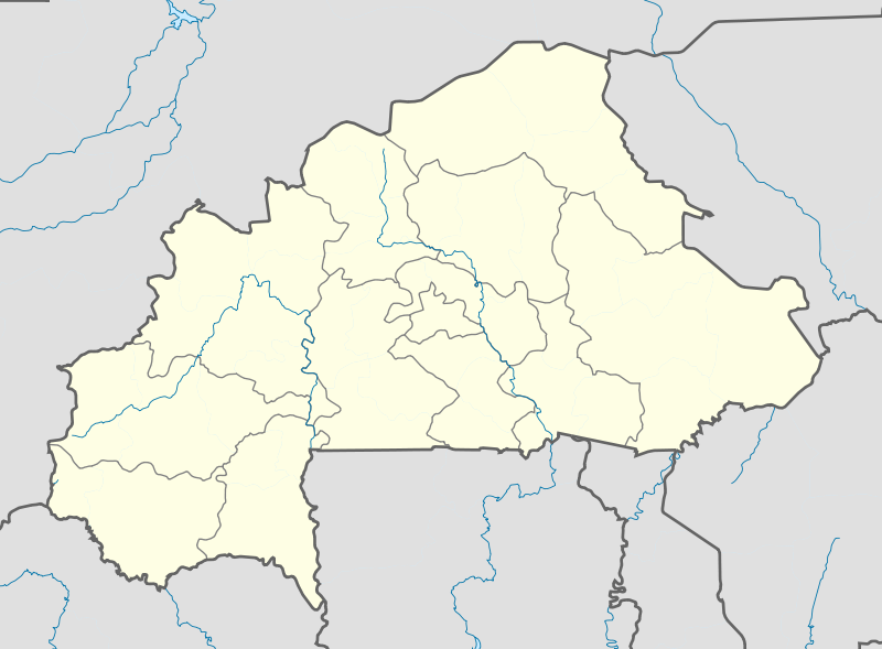
English: Location map of Burkina Faso Equirectangular projection. Strechted by 102%. Geographic limits of the map:
  * N: 15.5° N
  * S: 9° N
  * W: 6° W
  * E: 3° E
Made with Natural Earth. Free vector and raster map data @ naturalearthdata.com. |
| Azemz | |
| Aɣbalu | Amahil udmawan |
| Ameskar | Uwe Dedering |
| Autres versions |
|

Turagt
Moi, en tant que détenteur des droits d’auteur sur cette œuvre, je la publie sous les licences suivantes :
Afaylu-agi yella ddaw n tewtilin n turagt Creative Commons Attribution-Share Alike 3.0 Unported.
- Ɣuṛ-k tilelli:
- i beṭṭu – akken ad tneɣleḍ, ad tzuzreḍ neɣ ad tebḍuḍ amahil-agi
- i uṣeggem – i uṣeggem n umahil
- Ddaw n tiwtilin-agi:
- bab – Yessefk ad d-bedreḍ isem n umeskar aneṣli s wudem yettwammlen sɣuṛ ameskar n umahil neɣ bab n izerfan i k-imudden tasiregt (mačči s wudem yemmalen am akken yettmuddu-yak afus neɣ yeqbel aseqdec-it n umahil).
- bḍut akken yella – Ma tbeddleḍ, teskelteḍ, neɣ tebniḍ ɣef umahil-agi, yessefk ad tezzuzreḍ amahil i d-yeffɣen ɣas ddaw n turagt-nni neɣ turagt icuban ɣuṛ-s.

|
Ɣuṛ-k tasiregt akken ad tneɣleḍ, ad tzuzreḍ neɣ ad tesnifleḍ isemli-agi akken yella di tewtilin n GNU Free Documentation License lqem 1.2 neq yal lqem amaynut i d-yeffɣen sɣuṛ Free Software Foundation, s war abeddel di tgezmiyin, s war aḍris deg usebter amenzu n tdulineɣ s war aḍris deg usebter aneggaru n tduli. Amedya n turagt yedda deg tgezmi ittusemman GNU Free Documentation License. |
Tzemreḍ ad ferneḍ yiwet seg turagin-agi.
Amazray n ufaylu
Senned ɣef yiwen azmez d usrag iwakken ad ẓṛeḍ afaylu aken yella deg imir nni.
| Azemz/Ssaɛa | Aqmamaḍ | Iseggiwen | Amseqdac | Awennit | |
|---|---|---|---|---|---|
| Lux a | 15 Fuṛaṛ 2010 à 11:10 | | 900 × 663 (406 KB/KO) | Uwe Dedering | stretching fixed |
| 14 Fuṛaṛ 2010 à 19:57 |  | 900 × 663 (406 KB/KO) | Uwe Dedering | {{Information |Description={{en|1=English: English: Location map of Burkina Faso Equirectangular projection. Geographic limits of the map: * N: 15.5° N * S: 9° N * W: 6° W * E: 3° E Made with Natural Earth. Free vector and raster map dat |
Aseqdec n ufaylu
Ulaḥedd seg isebtar sɛan azday ar afaylu-agi.
Aseqdec n ufaylu amatu
Iwikiyen-agi-nniḍen seqdacen afaylu-agi:
- Aseqdec ɣef af.wikipedia.org
- Aseqdec ɣef als.wikipedia.org
- Aseqdec ɣef am.wikipedia.org
- Aseqdec ɣef an.wikipedia.org
- Aseqdec ɣef ar.wikipedia.org
- Aseqdec ɣef ast.wikipedia.org
- Aseqdec ɣef azb.wikipedia.org
- تودو
- سیو
- بوبو دیولاسو
- فارا
- سوندره
- تانداقا
- ریسیام
- تانقونا
- زانا موقو
- لوسا
- کاقامزینکه
- کوکولوقو
- تبرا (بورزانقا)
- نیاکونقو
- تونتنقا
- کومبانقو
- اوئی
- لیلبوره
- بیلبالوقو
- تیا (سیقله)
- کوری (ساپونه)
- سیمیدین
- نابزینیقویما
- زانو (تیکاره)
- ویدی
- دوسی
- سوریالا
- سارکونقا
- زورا
- سوکوندوقو
- کیلو (تیکاره)
- بن (تانسیلا)
- سورقو-یارقو
- بوندا
- کومبوس-یونقو
- تیو (تیو)
- قودو، نانورو
- ناپالقوئه (تیکاره)
Wali l’utilisation globale n ufaylu-agi.