
Tugna:Belize location map.svg

Taille de cet aperçu PNG pour ce fichier SVG : 432 × 599 iferdisen n tugna. Tibuda nniḍen : 173 × 240 iferdisen n tugna | 346 × 480 iferdisen n tugna | 554 × 768 iferdisen n tugna | 739 × 1 024 iferdisen n tugna | 1 478 × 2 048 iferdisen n tugna | 788 × 1 092 iferdisen n tugna.
Afaylu aneṣli (Afaylu SVG, tabadut n 788 × 1 092 pixel, lqedd : 106 KB/KO)
Agzul
| Aglam |
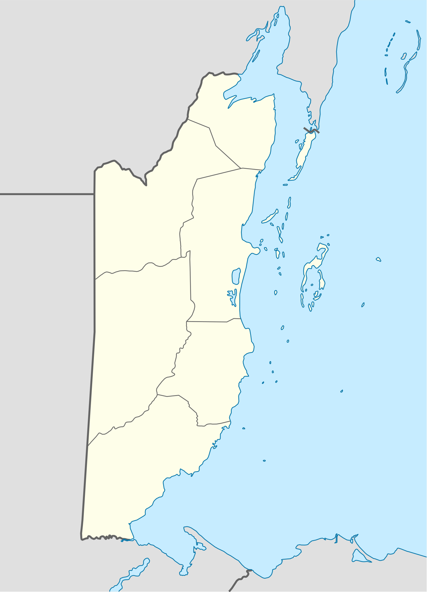
Deutsch: Positionskarte von Belize
Quadratische Plattkarte, N-S-Streckung 105 %. Geographische Begrenzung der Karte:
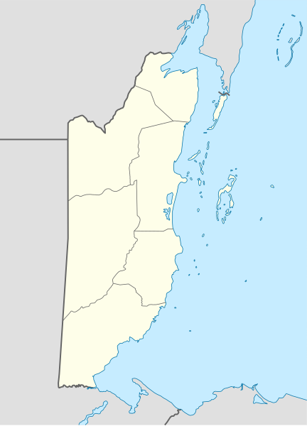
English: Location map of Belize
|
||||||||||||
| Azemz | |||||||||||||
| Aɣbalu | Travail personnel avec: United States National Imagery and Mapping Agency data | ||||||||||||
| Ameskar | NordNordWest | ||||||||||||
| SVG information |
|
||||||||||||

Turagt
NordNordWest, en tant que détenteur des droits d’auteur sur cette œuvre, la publie sous les licences suivantes :

|
Ɣuṛ-k tasiregt akken ad tneɣleḍ, ad tzuzreḍ neɣ ad tesnifleḍ isemli-agi akken yella di tewtilin n GNU Free Documentation License lqem 1.2 neq yal lqem amaynut i d-yeffɣen sɣuṛ Free Software Foundation, s war abeddel di tgezmiyin, s war aḍris deg usebter amenzu n tdulineɣ s war aḍris deg usebter aneggaru n tduli. Amedya n turagt yedda deg tgezmi ittusemman GNU Free Documentation License. |
Afaylu-agi yella ddaw n tewtilin n turagt Creative Commons Attribution-Share Alike 3.0 Unported.
Tinekfit: NordNordWest
- Ɣuṛ-k tilelli:
- i beṭṭu – akken ad tneɣleḍ, ad tzuzreḍ neɣ ad tebḍuḍ amahil-agi
- i uṣeggem – i uṣeggem n umahil
- Ddaw n tiwtilin-agi:
- bab – Yessefk ad d-bedreḍ isem n umeskar aneṣli s wudem yettwammlen sɣuṛ ameskar n umahil neɣ bab n izerfan i k-imudden tasiregt (mačči s wudem yemmalen am akken yettmuddu-yak afus neɣ yeqbel aseqdec-it n umahil).
- bḍut akken yella – Ma tbeddleḍ, teskelteḍ, neɣ tebniḍ ɣef umahil-agi, yessefk ad tezzuzreḍ amahil i d-yeffɣen ɣas ddaw n turagt-nni neɣ turagt icuban ɣuṛ-s.
Tzemreḍ ad ferneḍ yiwet seg turagin-agi.
Amazray n ufaylu
Senned ɣef yiwen azmez d usrag iwakken ad ẓṛeḍ afaylu aken yella deg imir nni.
| Azemz/Ssaɛa | Aqmamaḍ | Iseggiwen | Amseqdac | Awennit | |
|---|---|---|---|---|---|
| Lux a | 10 Duǧember 2016 à 07:15 | | 788 × 1 092 (106 KB/KO) | Kaldari | Fixing Cayo District border per http://www.elections.gov.bz/modules/wfdownloads/visit.php?cid=109&lid=213 |
| 4 Ctember 2008 à 19:37 |  | 788 × 1 092 (106 KB/KO) | NordNordWest | size correction | |
| 4 Ctember 2008 à 19:34 |  | 630 × 874 (106 KB/KO) | NordNordWest | {{Information |Description= {{de|Positionskarte von Belize}} Quadratische Plattkarte, N-S-Streckung 105 %. Geographische Begrenzung der Karte: * N: 18.9° N * S: 15.6° N * W: 89.7° W * O: 87.2° W {{en|Location map of [[:en:Belize|Belize] |
Aseqdec n ufaylu
Ulaḥedd seg isebtar sɛan azday ar afaylu-agi.
Aseqdec n ufaylu amatu
Iwikiyen-agi-nniḍen seqdacen afaylu-agi:
- Aseqdec ɣef af.wikipedia.org
- Aseqdec ɣef an.wikipedia.org
- Aseqdec ɣef ar.wikipedia.org
- Aseqdec ɣef ast.wikipedia.org
- Ciudá de Belize
- Belmopán
- Gran furacu azul
- Módulu:Mapa de llocalización/datos/Belize
- Módulu:Mapa de llocalización/datos/Belize/usu
- Aeropuertu de Corozal
- Aeropuertu de Dangriga
- Aeropuertu de Placencia
- Aeropuertu de Punta Gorda
- Aeropuertu de San Pedro
- Pista d'Aterrizaxe Héctor Silva
- Puertu de Belize
- Puertu de Big Creek
- Aseqdec ɣef az.wikipedia.org
- Aseqdec ɣef ba.wikipedia.org
- Aseqdec ɣef be-tarask.wikipedia.org
- Aseqdec ɣef be.wikipedia.org
- Aseqdec ɣef bg.wikipedia.org
- Aseqdec ɣef bn.wikipedia.org
- Aseqdec ɣef bs.wikipedia.org
- Aseqdec ɣef ceb.wikipedia.org
Wali l’utilisation globale n ufaylu-agi.