
Tugna:Western Sahara sat.png
Tiddi n azaraskan agi : 733 × 599 iferdisen n tugna. Tibuda nniḍen : 294 × 240 iferdisen n tugna | 587 × 480 iferdisen n tugna | 1 014 × 829 iferdisen n tugna.
Afaylu aneṣli (1 014 × 829 pixel, tiddi n ufaylu: 630 KB/KO, anaw n MIME: image/png)
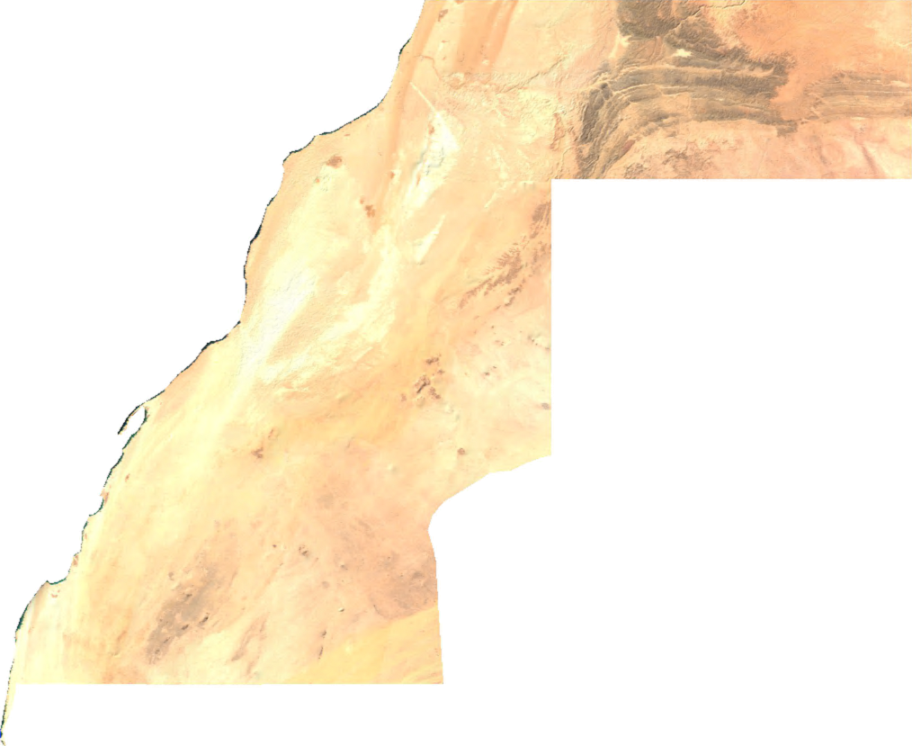
English: Satellite overview of Western moroccan Sahara
ECW to TIFF to PNG (compression level 9).
| This file is in the public domain, because it was generated by a user, using free sources available at The Map Library.
Note that this does not include the maps in the Global Administrative Areas section of the homepage. |
Amazray n ufaylu
Senned ɣef yiwen azmez d usrag iwakken ad ẓṛeḍ afaylu aken yella deg imir nni.
| Azemz/Ssaɛa | Aqmamaḍ | Iseggiwen | Amseqdac | Awennit | |
|---|---|---|---|---|---|
| Lux a | 3 Meɣres 2022 à 08:03 | | 1 014 × 829 (630 KB/KO) | Koavf | c:User:Rillke/bigChunkedUpload.js: opaque |
| 14 Yulyu 2006 à 02:47 |  | 1 014 × 829 (501 KB/KO) | Unquietwiki | ECW to TIFF to PNG (compression level 9). {{PD-MapLibrary}} |
Aseqdec n ufaylu
Asebter agi teseqdac afaylu agi :
Aseqdec n ufaylu amatu
Iwikiyen-agi-nniḍen seqdacen afaylu-agi:
- Aseqdec ɣef arz.wikipedia.org
- Aseqdec ɣef ast.wikipedia.org
- Aseqdec ɣef ca.wikipedia.org
- Aseqdec ɣef cy.wikipedia.org
- Aseqdec ɣef de.wikipedia.org
- Aseqdec ɣef diq.wikipedia.org
- Aseqdec ɣef en.wikipedia.org
- Aseqdec ɣef eo.wikipedia.org
- Aseqdec ɣef fi.wiktionary.org
- Aseqdec ɣef fr.wikinews.org
- Aseqdec ɣef fr.wikivoyage.org
- Aseqdec ɣef gd.wikipedia.org
- Aseqdec ɣef gl.wikipedia.org
- Aseqdec ɣef gpe.wikipedia.org
- Aseqdec ɣef ha.wikipedia.org
- Aseqdec ɣef ht.wikipedia.org
- Aseqdec ɣef hy.wikipedia.org
- Aseqdec ɣef ia.wikipedia.org
- Aseqdec ɣef ja.wikipedia.org
- Aseqdec ɣef kcg.wikipedia.org
- Aseqdec ɣef ko.wikipedia.org
- Aseqdec ɣef nl.wikipedia.org
- Aseqdec ɣef pl.wikipedia.org
- Aseqdec ɣef pt.wikipedia.org
- Aseqdec ɣef uk.wikipedia.org
- Aseqdec ɣef www.wikidata.org