
Tugna:Burkina sat.png
Tiddi n azaraskan agi : 800 × 575 iferdisen n tugna. Tibuda nniḍen : 320 × 230 iferdisen n tugna | 640 × 460 iferdisen n tugna | 950 × 683 iferdisen n tugna.
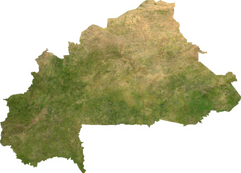
Afaylu aneṣli (950 × 683 pixel, tiddi n ufaylu: 693 KB/KO, anaw n MIME: image/png)
ECW to TIFF to PNG (compression level 9).
| This file is in the public domain, because it was generated by a user, using free sources available at The Map Library.
Note that this does not include the maps in the Global Administrative Areas section of the homepage. |
Amazray n ufaylu
Senned ɣef yiwen azmez d usrag iwakken ad ẓṛeḍ afaylu aken yella deg imir nni.
| Azemz/Ssaɛa | Aqmamaḍ | Iseggiwen | Amseqdac | Awennit | |
|---|---|---|---|---|---|
| Lux a | 13 Yulyu 2006 à 02:57 | | 950 × 683 (693 KB/KO) | Unquietwiki | ECW to TIFF to PNG (compression level 9). {{PD-MapLibrary}} |
Aseqdec n ufaylu
Asebter agi teseqdac afaylu agi :
Aseqdec n ufaylu amatu
Iwikiyen-agi-nniḍen seqdacen afaylu-agi:
- Aseqdec ɣef af.wikipedia.org
- Aseqdec ɣef arz.wikipedia.org
- Aseqdec ɣef ast.wikipedia.org
- Aseqdec ɣef bcl.wikipedia.org
- Aseqdec ɣef bs.wikipedia.org
- Aseqdec ɣef ca.wikipedia.org
- Aseqdec ɣef cs.wikipedia.org
- Aseqdec ɣef cy.wikipedia.org
- Aseqdec ɣef dag.wikipedia.org
- Aseqdec ɣef de.wikipedia.org
- Aseqdec ɣef de.wikivoyage.org
- Aseqdec ɣef dga.wikipedia.org
- Aseqdec ɣef diq.wikipedia.org
- Aseqdec ɣef en.wikipedia.org
- Aseqdec ɣef es.wikipedia.org
- Aseqdec ɣef ff.wikipedia.org
- Aseqdec ɣef fr.wikipedia.org
- Aseqdec ɣef fr.wikinews.org
- Aseqdec ɣef fr.wikivoyage.org
- Aseqdec ɣef ga.wikipedia.org
- Aseqdec ɣef gl.wikipedia.org
- Aseqdec ɣef gpe.wikipedia.org
- Aseqdec ɣef ha.wikipedia.org
- Aseqdec ɣef he.wikivoyage.org
- Aseqdec ɣef hr.wikipedia.org
- Aseqdec ɣef hu.wikipedia.org
- Aseqdec ɣef ia.wikipedia.org
- Aseqdec ɣef id.wikipedia.org
- Aseqdec ɣef incubator.wikimedia.org
- Aseqdec ɣef is.wikipedia.org
- Aseqdec ɣef ka.wikipedia.org
- Aseqdec ɣef la.wikipedia.org
- Aseqdec ɣef lt.wikipedia.org
- Aseqdec ɣef mdf.wikipedia.org
- Aseqdec ɣef mk.wikipedia.org
- Aseqdec ɣef new.wikipedia.org
- Aseqdec ɣef nqo.wikipedia.org
- Aseqdec ɣef ps.wikipedia.org
- Aseqdec ɣef rue.wikipedia.org
- Aseqdec ɣef sd.wikipedia.org
- Aseqdec ɣef si.wikipedia.org
- Aseqdec ɣef sv.wikipedia.org
Wali l’utilisation globale n ufaylu-agi.